Using GPS data
QGIS can utilize data collected from common Global Positioning System receivers. The standard format of GPS data is GPX (file extension .gpx).
This exercise will show you how to display GPS data in QGIS. We will use the GPSBabel application to download the data directly from your GPS receiver and then display it in QGIS.
You need GPSbabel installed in your machine. To download GPSbabel for your operating system, go to the the website’s download section.
Downloading GPS data from the device using GPSbabel
Note
Instructions provided are for Garmin devices.
1. Connect your GPS device into your computer using either a serial port or USB and turn it on.
2. Open GPSBabel.
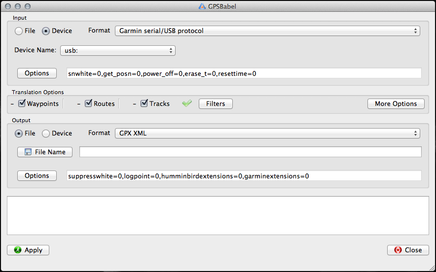
3. In the Input section, select Device and choose Garmin serial/USB as the Format.
4. In the Translations section, check the Waypoints and Tracks.
5. In the Output section, select File and choose GPX XML as the Format.
6. Encode your preferred filename in the File Name field.
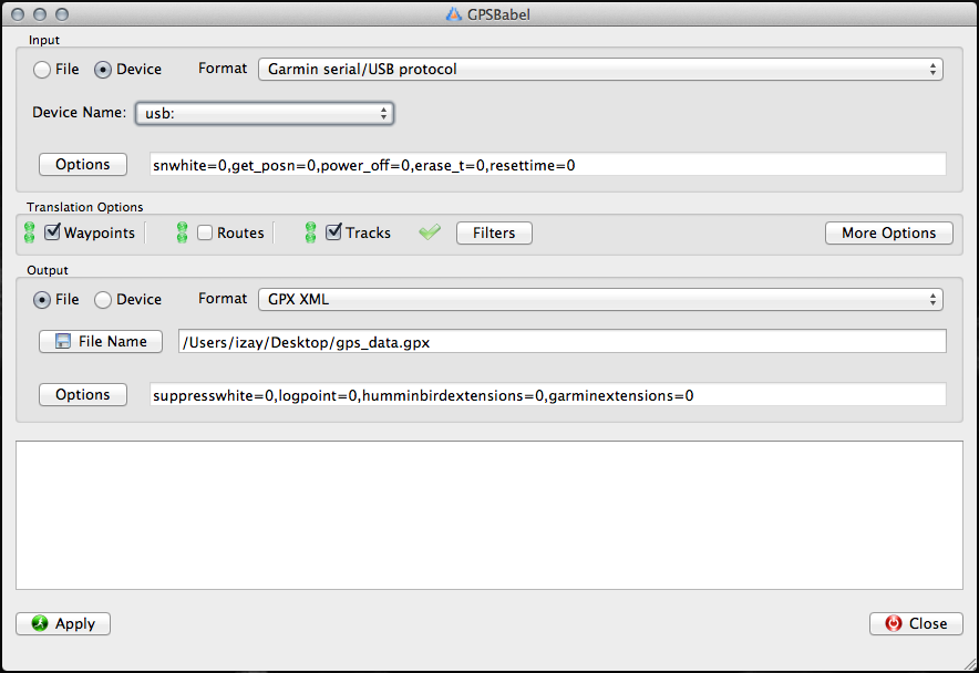
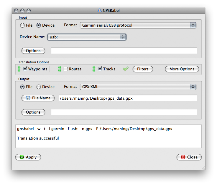
7. Click Apply. Once the download finishes, a message will appear in the bottom text box. The GPS data is now saved in your computer.
Loading GPS data in QGIS
1. Open your QGIS project.
2. Activate the GPS Tools plugin. In the Menu, select
Plugins ‣
 Manage Plugins.
In the Plugin Manager,
enable the GPS Tools plugin. Click
OK.
Manage Plugins.
In the Plugin Manager,
enable the GPS Tools plugin. Click
OK.
3. To display GPS data, in the Menu select Vector ‣
GPS ‣
 GPS Tools. A new window will
appear for the GPS Tools plugin.
GPS Tools. A new window will
appear for the GPS Tools plugin.
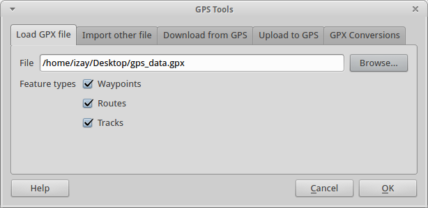
Click the Load GPX file tab.
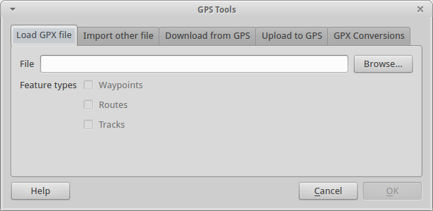
4. In the File section, click Browse and choose your GPX file. Click OK.
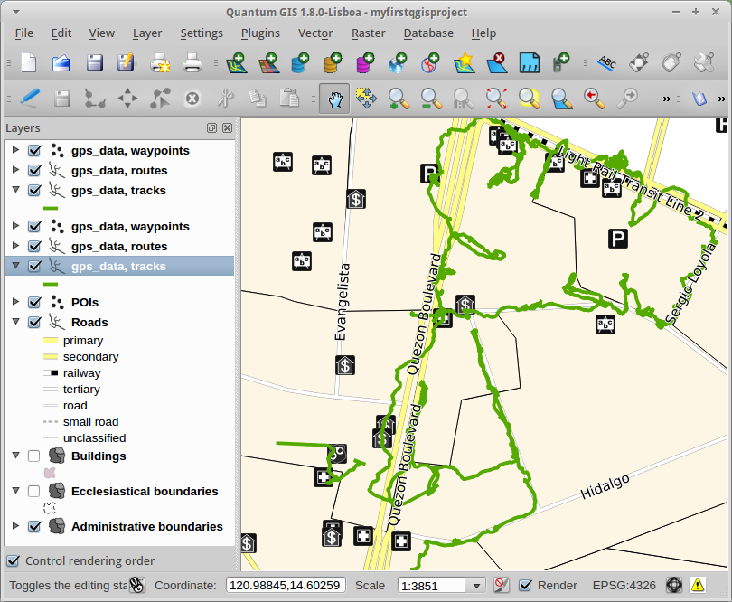
5. The GPS data should display in your Map View. You can now use the GPS data as reference for creating or updating your data layers.
Tip
The GPS Tools plugin can only load GPX file one at a time. You have to repeat the process to load several GPX files.