Using QGIS to view your model output
You can improve the map design of your MaxEnt output in QGIS.
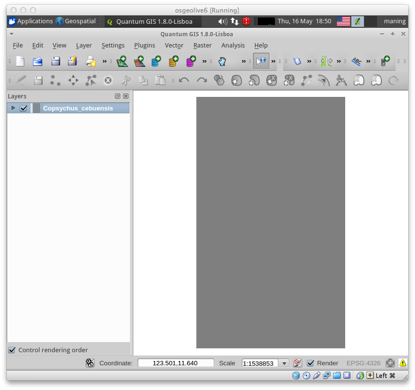
Load you model output
1. To load your MaxEnt output map, select Layer ‣
 Add Raster Layer.
2. Click Browse and double-click to your directory. Select Copsychus_cebuensis.asc. Click OK.
Similar to the previous section, perform the display contrast enhancement. But this time, select the Pseudocolor as the Color map.
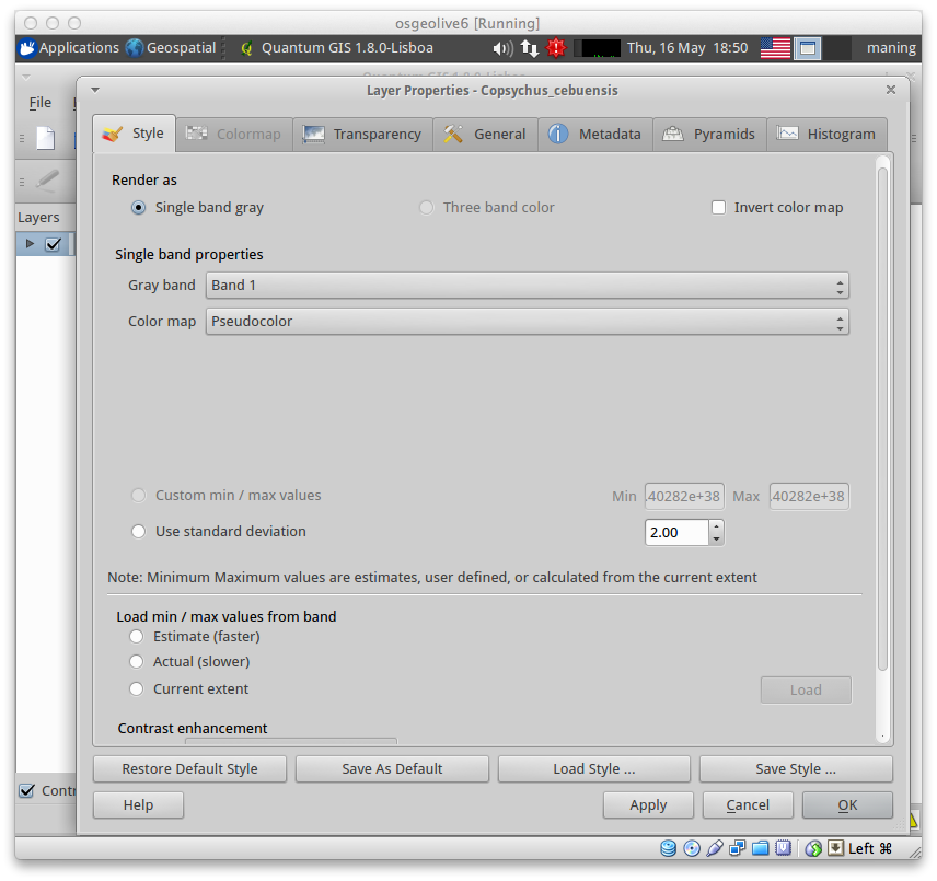
3. Select the Transparency tab and adjust the Global transparency slider to 30%. Click Apply then, OK.

Provide context by adding more data layers
1. Add more geographical context in your map by adding the vector layers
available in your vector directory. To add vector layers,
select Layer ‣  Add Vector Layer
- To change the vector layer properties like color and symbolization.
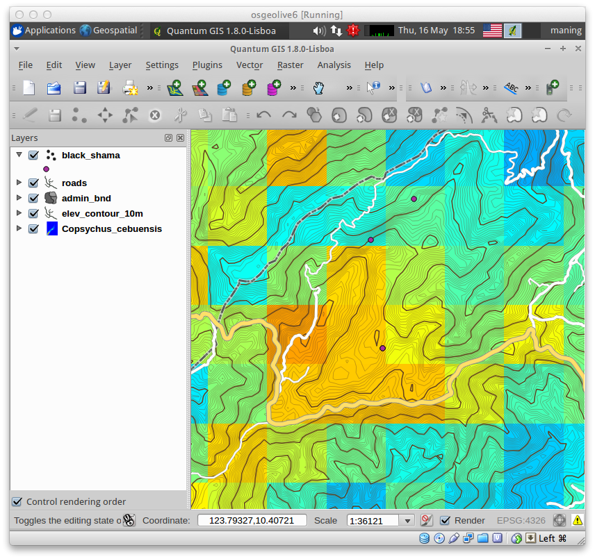

Table Of Contents
Previous topic
Next topic
Map Design with Print Composer